Elevation Dependent Regression
This methods calculates the interpolation results using the elevation dependency of an entity. It uses regression files which were produced during pre-processing in the so called  WaSiM regress format to calculate the spatial distribution of a meteorologic entity for each time step.
More details on elevation depdent regression can be found in the manual WaSiM model documentation.
 |
 |
 |
 |
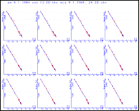
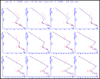
| Beispiel-Plots zu möglichen Höhenregressionen |
 |
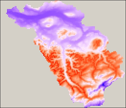
| Beispiel-Plot für ein räumliches Interpolationsergebnis |
See also
 WaSiM-Helptools
 "regress" bzw. "regr"